
Mapping Rural Water Scarcity
We deploy rigorous engineering to design gravity-fed water distribution systems for remote tribal hamlets across Maharashtra, ensuring long-term source sustainability.
Quantifying the Scarcity Gap
45 L
daily water demand per capita
14
tribal villages mapped
100%
gravity-fed distribution designs


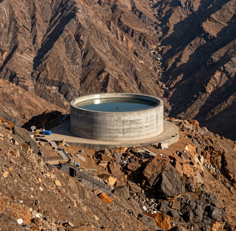
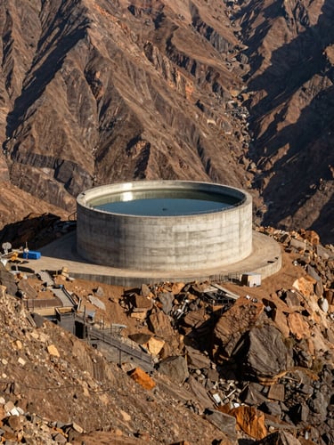
Topographical Elevation Modeling
Our teams analyze regional rainfall and groundwater depletion to overcome severe elevation barriers, designing pipelines that work with natural terrain contours.
Hydrological Parameters
We measure seasonal yield fluctuations at each source well to guarantee year-round supply, matching infrastructure to actual community-led maintenance capacities.
Target Tribal Districts
We focus our engineering interventions on the most remote, unserved mountainous zones where municipal water infrastructure cannot easily reach.
Palghar & Thane Regions
These high-altitude tribal hamlets face acute water distress from March to June. Our mapped schemes target these specific coordinates to maximize immediate humanitarian and engineering impact.
JalNx VJTI
Rigorous engineering blueprints for rural water security.
Schemes
Home
Social Service
Jalothon
Districts
Schemes
Collaboration
Pravin S Chaudahri , Civil and Enviromental Engineering Department ,VJTI Campus, H. R. Mahajani Road, Matunga, Mumbai, Maharashtra 400019
Technical support for rural district administrations
© 2026 JalNx VJTI-Designed by VJTI students and faculty. Engineered for social impact.
VJTI COMMUNITY ENGINEERING